
See it live
Open how Skycat looks with real work — photos on a map, a 3D capture in the browser, or a condition survey over time. Then talk to the people who build it.
Skycat Photo
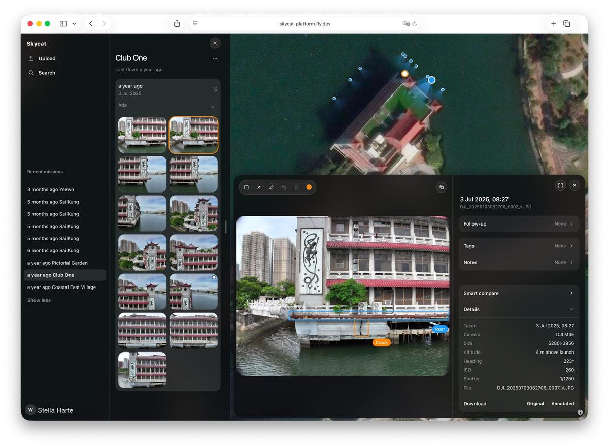
Inspection photos on a map
Find photos by place and date. Flag follow-ups. Compare two visits. Share a link.
Skycat Spatial
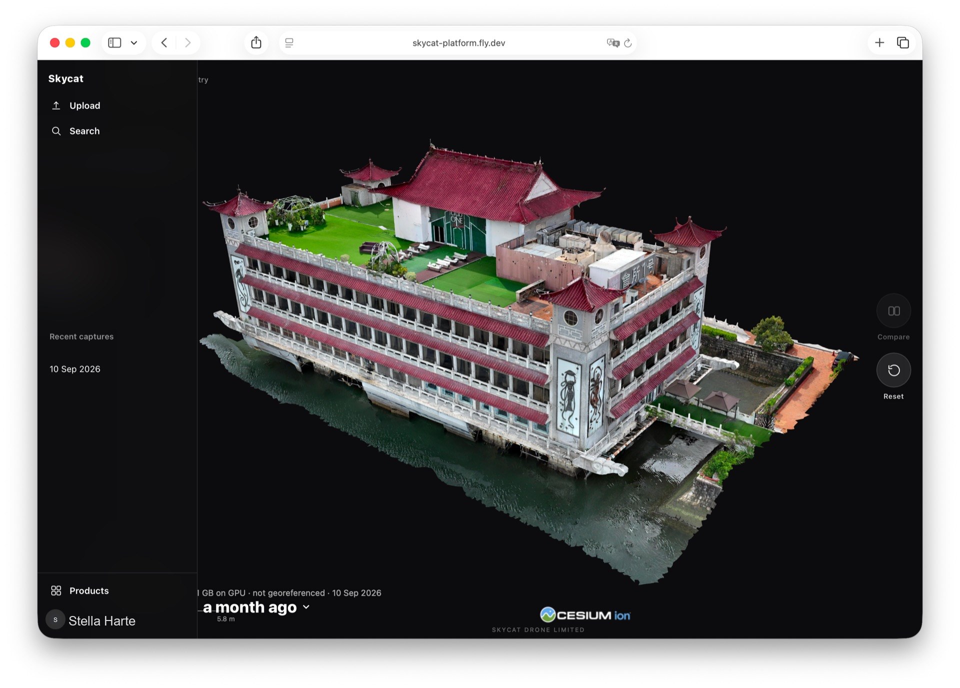
A 3D capture in the browser
Turn the capture around yourself. Nothing to install. Share a link — no account for them.
Skycat Sensing
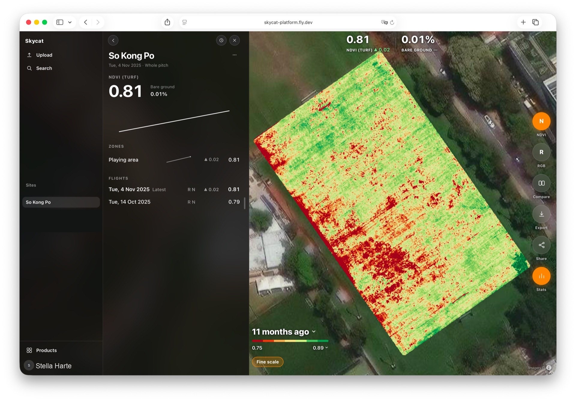
Turf condition on one map
Vegetation, bare ground, and surface temperature zone by zone — flight after flight.
Ready for your site
Ask about a survey, or Photo or Spatial for your own captures. You reach the people who build it.
Talk to us