We specialize in drone land surveying, leveraging UAVs for precise, rapid data collection.
What is drone land surveying?
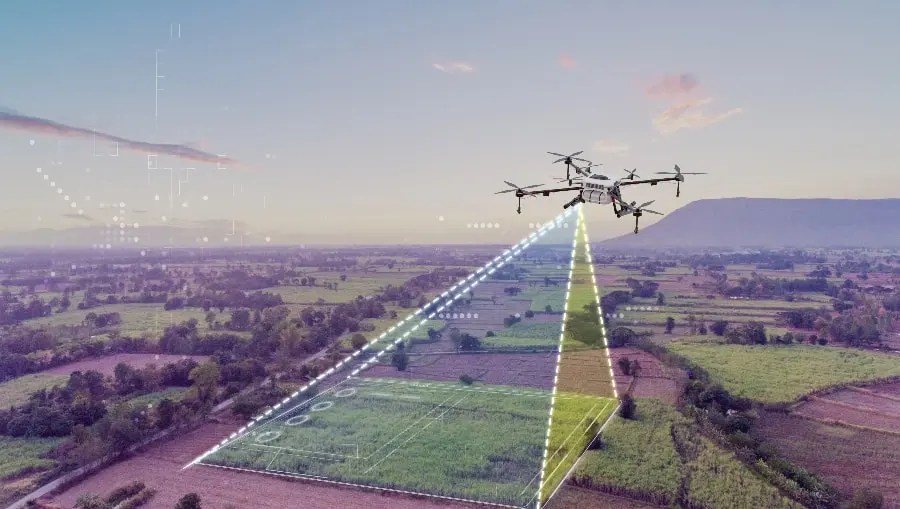
Drone land surveying uses unmanned aerial vehicles to capture topographic data, boundaries, elevations, and volumes. Key applications include:
- Topographic and boundary surveys for development planning
- Volumetric analysis for stockpiles or earthworks
- Site monitoring for environmental assessments or land disputes


Why Choose Skycat for Land Surveying?
Precision and Speed: High quality and orthomosaic and photogrammetry within days
Safety and Compliance: CAD-licensed operations
Cost Efficiency: Minimize fieldwork; save on manpower and equipment.
Advanced Tech: Processing for orthomosaics, point clouds, and GIS integration.
Our Survey Process
Customized for efficiency:
- Planning: Assess site, obtain permits, align with client needs.
- Data Capture: UAV flights with overlapping imagery and ground control points or RTK.
- Processing: Generates maps with HK80 Grid System other other coordinate systems.
- Delivery: Secure cloud access to interactive files, PDFs, TIFF, or BIM exports.
- Support: Post-survey analysis and re-surveys as needed.