At Skycat Drone, we provide tailored aerial inspection services using advanced enterprise-grade drones to inspect buildings, roofs, facades, and hard-to-reach areas.
Our Comprehensive Aerial Inspection Services
We specialize in drone-based assessments that cover:
- Building and Facade Inspections: Detailed scans of high-rise exteriors to detect cracks, corrosion, or structural issues.
- Roof and Hard-to-Reach Area Surveys: Safe access to elevated or inaccessible spots, ideal for maintenance in real estate portfolios.
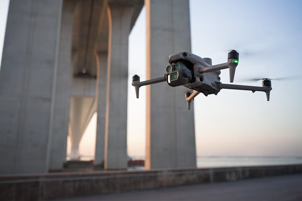
- Infrastructure Assessments (Construction Sector): Monitoring bridges, tunnels, and sites for progress and safety compliance.
- Energy and Utilities Fault Detection: Thermal imaging to identify issues in solar panels, power lines, or substations, preventing outages.
- Public Safety Evaluations: Disaster preparedness checks for emergency response planning in vulnerable areas.
- Maritime Inspections: Vessel hulls, port facilities, and offshore structures for regulatory adherence.
These services leverage high-resolution cameras, thermal sensors, and AI analysis for accurate, non-invasive results
Benefits of Choosing Skycat Drone Aerial Inspections
Our approach outperforms traditional scaffolding or manual inspections:
- Enhanced Safety: Eliminate worker exposure to heights or hazards in Hong Kong’s high-density zones.
- Time Efficiency: Complete inspections within days for most works
- Cost Savings: Reduce expenses by up to 70% through minimized labor and equipment needs.
- Superior Precision: Centimeter accuracy with AI-flagged anomalies, ensuring early detection and compliance.
- Eco-Friendly and Compliant: CAD-licensed operations with full insurance, tailored to Hong Kong’s environmental an aviation standards.
Our Streamlined Inspection Process
We make aerial inspections seamless:
- Consultation and Planning: Discuss your needs and secure CAD approvals for Hong Kong sites.
- Drone Deployment: Conduct flights with overlapping imagery for comprehensive coverage.
- Data Analysis: Use AI to process high-res and thermal data into detailed models and reports.
- Reporting and Delivery: Provide enterprise-grade PDFs, 3D visuals, or GIS integrations with actionable recommendations.
- Follow-Up: Offer re-inspections or integration with your maintenance systems.